CITY of PERTH 1872-1908

CITY OF PERTH
From shipwreckswa.com
Description
Paddle steamer Side. Later conversion to a be towed a “lighter”
Owner
George Randell & William Lawrence. Swan River Shipping Company.
Construction
Timber hull
Built
1872 by Lawrence and Randel
Size
Length 26.4m beam 5m, depth 1.6M 61.2 tonnes
Sunk
Deregistered in 1908
Location
Against the base and parallel with the western shoreline cliffs at Rocky Bay, North Fremantle in 2.1 meters of water. Bow pointing north.
Latitude & Longitude
Degrees & decimal minutes
History
Commenced on the Swan River 1872 carrying cargo and passengers on pleasure cruises at weekends. Sold swan river shipping company 1895 and by 1898 was registered to be towed carrying no passengers and 67 tons.
Rediscovered
Colin Scrimshaw 1979
Sinking
Details to be researched, abandoned
Underwater
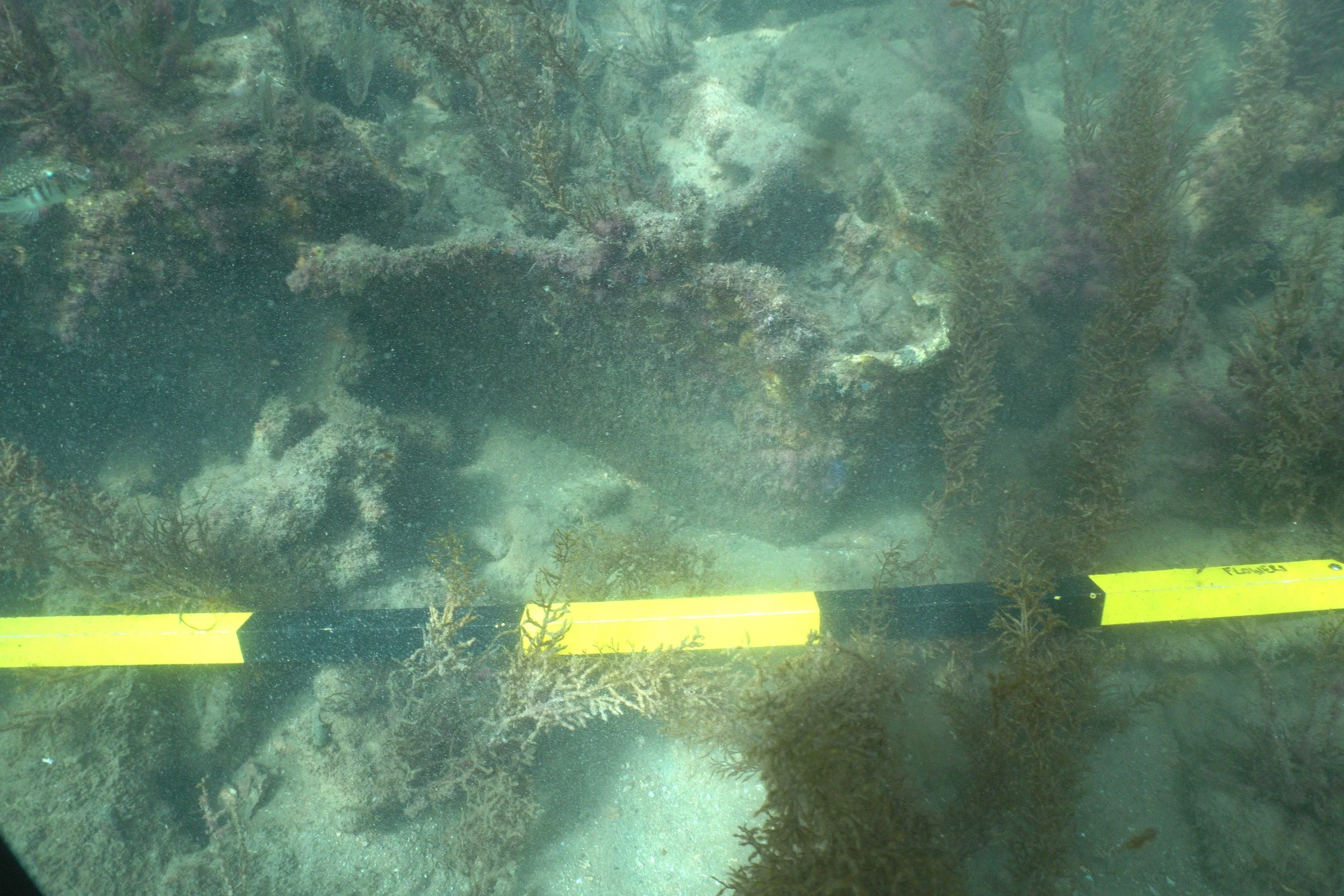
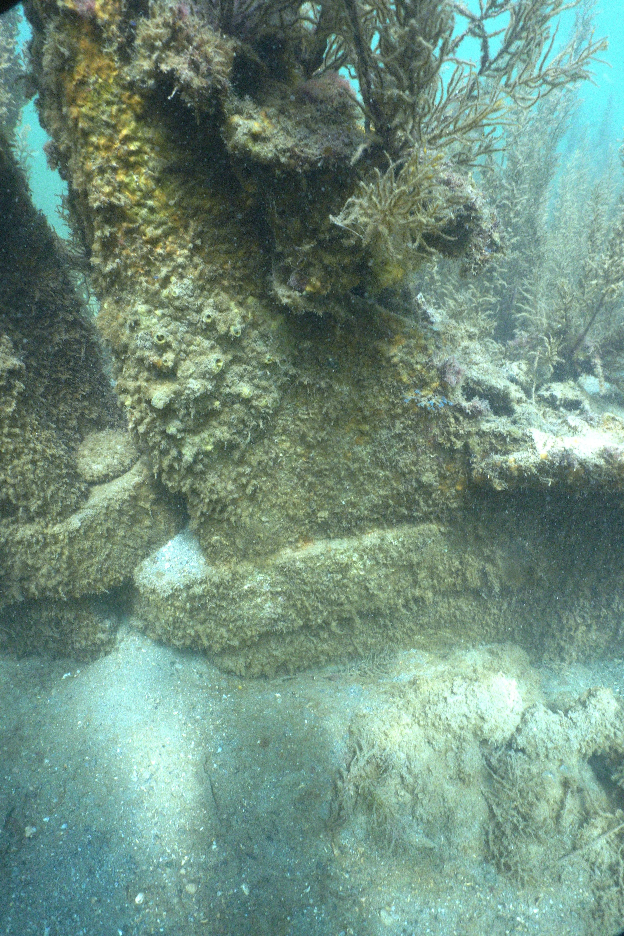
Prominent features are the in place, but damaged copper metal (Muntz metal) covered rudder with dudgeons and pintel. The starboard side hull outline is able to be made out with a large quantity of rubble at the bow area. Much of the port side is not able to be observed. Quantity of modern debris across the site included 4 rail tracks at right angles to the wreck.
Wreck slopes to starboard side consistent with the slope of the supporting surface. Sections of the wreck along the starboard side are eroded under the hull by approximately 400 mm.
The 1990s drawing by Colin Cockram shows the 4 train rails across the wreck at right angles in proximity to the Poles. Does the association of the rail lines to the poles, quantity of debris and rubble on the wreck and adjacent good water depth indicate that the City of Perth hull was converted to a marine platform? Further research is needed.
Depths of riverbed at various locations
Bow depth 1.9m Stern Depth 2.1m
Port midship depth Starboard midship depth 2.4m
Located on the western side of the Swan River adjacent to the limestone cliff, with the bow close to the large boulder at the water’s edge. Access via boat from the Leeuwin boat ramp approximately. 480 meters, paid parking. Or via swimming 200 meters upriver, from the Harvey Beach jetty near the Water Police buildings. There is signage restricting boat access to the area around the Harvey beach Jetty.
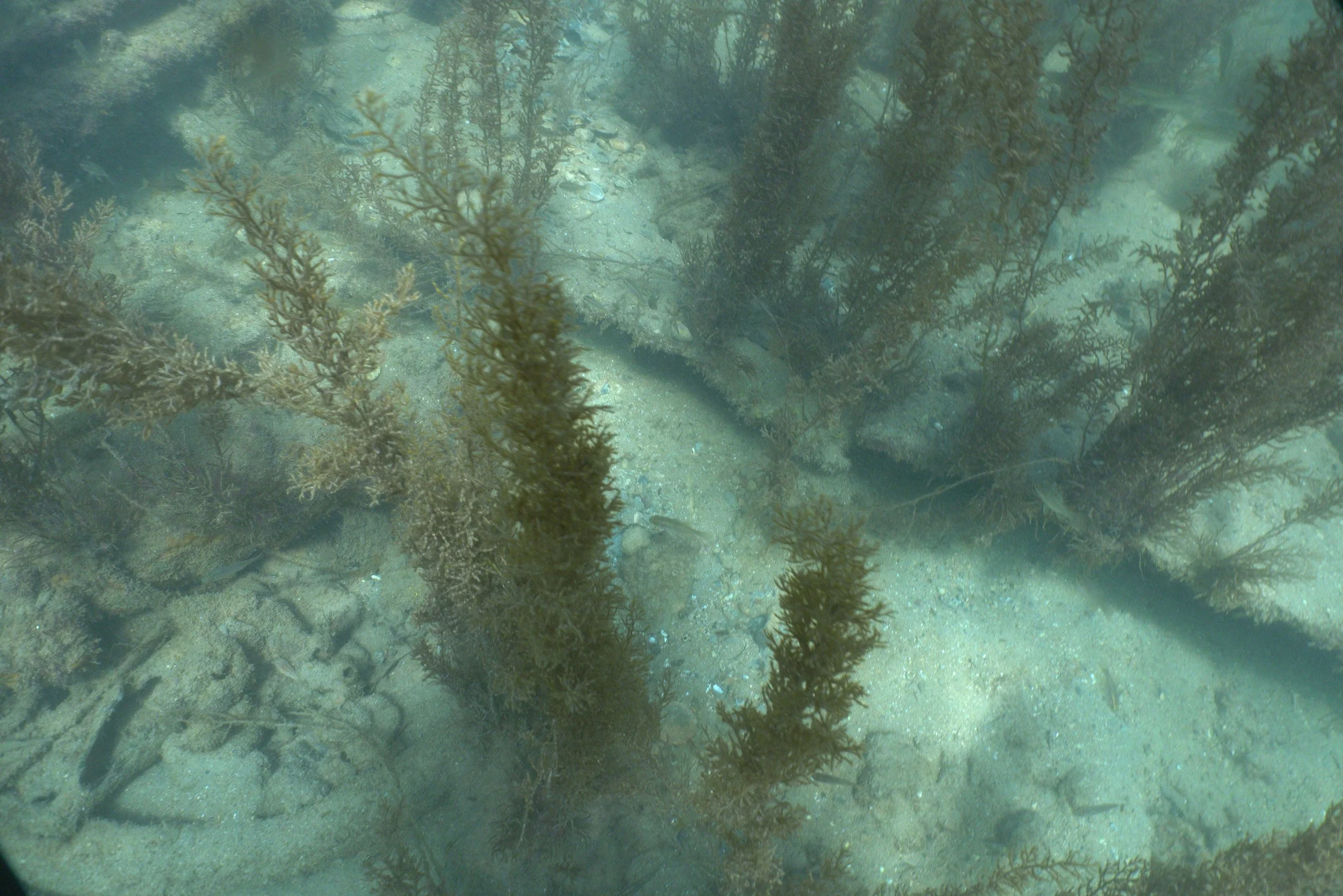
Beware of boat traffic and tidal movements. Due to its shallowness, it can be snorkeled. When dived on the April 2025 on a rising tide there was good visibility, however the large quantity of weed on the site meant that a 3D model was not obtained.
Parallel to and approx. 10 meters from the Mayfield wreck. The 4 rail tracks across the wreck are able to be identified via boat or drone, water visibility permitting.
The dive getting there
Wreck features
Large quantity of iron elements, knees some at right angles other U shaped some large timber sections & timber longitudinal planking, evidence of burnt timber with copper nails and connectors. Observations based on 2021 Dive
Site Changes
The three vertical posts shown on the C Cockram 1990 drawing were not located The rudder as at this inspection is fully on view as compared to CC 1990 drawing showing only about the top
Resources
Swan & Canning River Wrecks by Colin Scrimshaw MAAWA 1981 p6
Western Australian Museum Shipwreck data bases City of Perth
Links
References
Historical pictures

CITY of Perth drawing By C Cockram 1990
Significant features


Above top, left to right, bow, bow, rubble and weed at bow area, rudder, rudder, starboard side of hull near stern, exterior hull outline.
Left: Arrow indicates midpoint of the City of Perth Right MAAWA dive April 2025 divers at the rudder City of Perth
Drone


Side scan
3d model
Video Link CITY of PERTH APRIL 2025 MAAWA G Flowers
Location